The topic of today’s post is very straightforward: Taal Volcano.
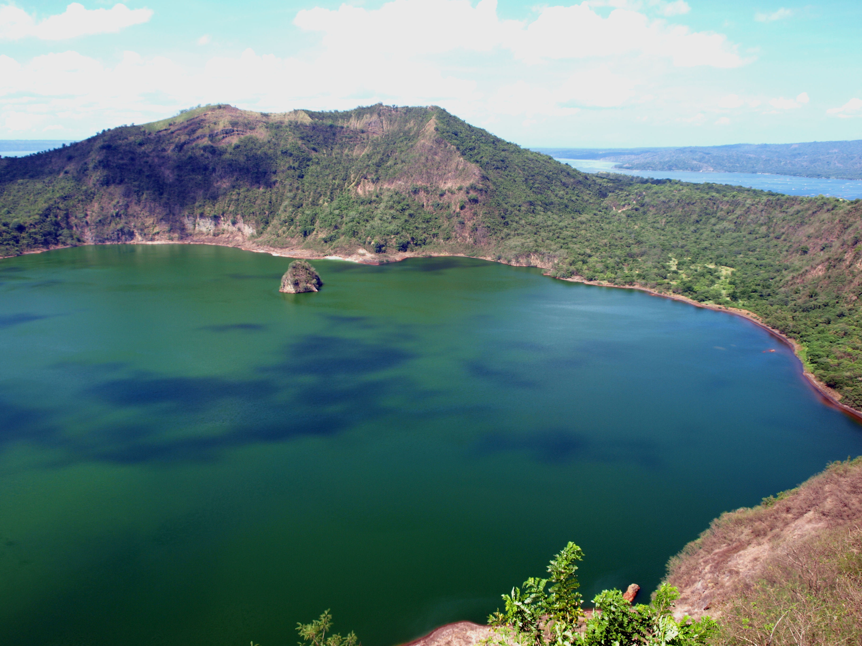
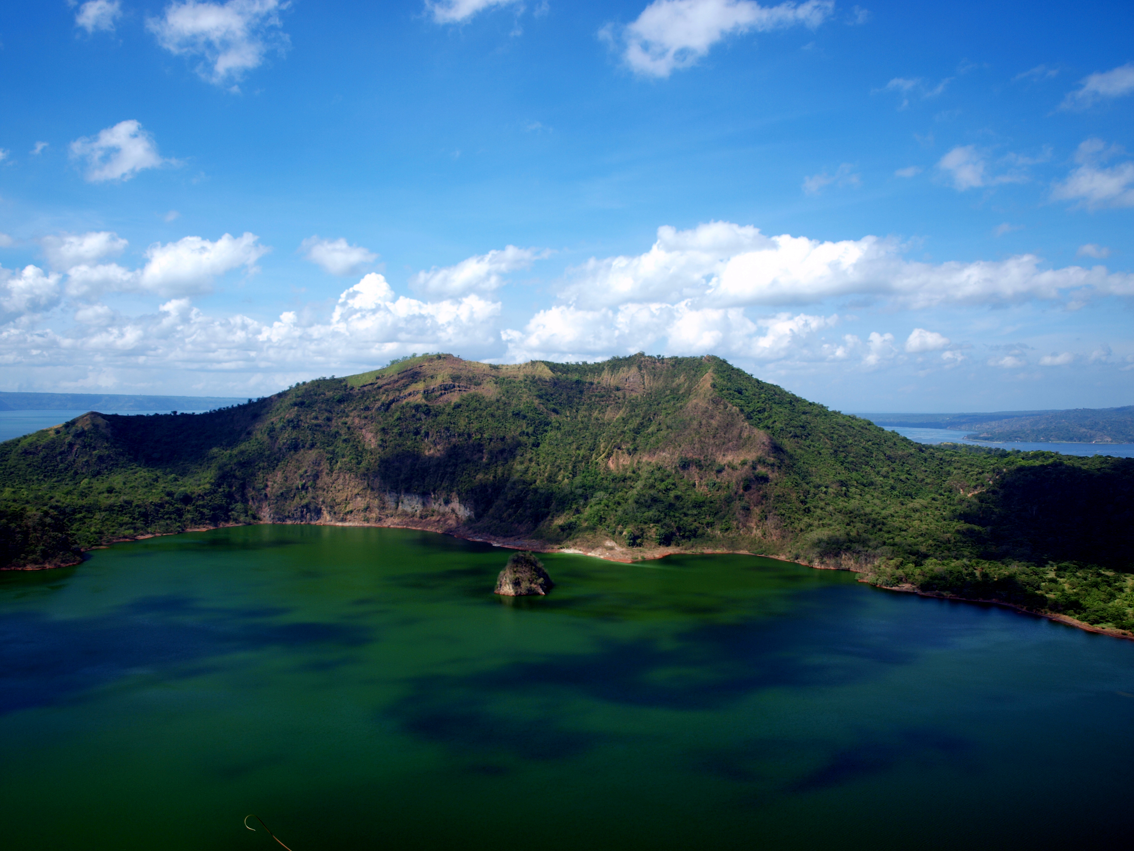
After a short break, which was used wisely: to drink some water and beer (non-alcoholic, of course) we continue on the trail to finally see the lake on an island on a lake on an island. This is not the only thing that makes Taal Volcano stand out of the crowd (crowd of volcanoes that is). The Volcano Island is located on a lake that is a freshwater lake. However, not so long ago, there was a direct connection with the ocean – and oceans are – by all means – salty. It was the rainfall that made the water in the lake fresh water. That obviously didn’t happen overnight. After a series of geological activity in the eighteenth century the direct connection with the ocean was blocked and the lake became permanently isolated. Many rainfalls later the water changed from being salty to fresh.
As I have mentioned in one of the previous posts Lake Taal is home to some endemic species of animals. The isolation of the lake is one of the factors contributing to the fauna evolving differently. Maybe the evolution is not as extreme as is the case with tepuis – the table-top mountains of South America, but still contributes to biological diversity.
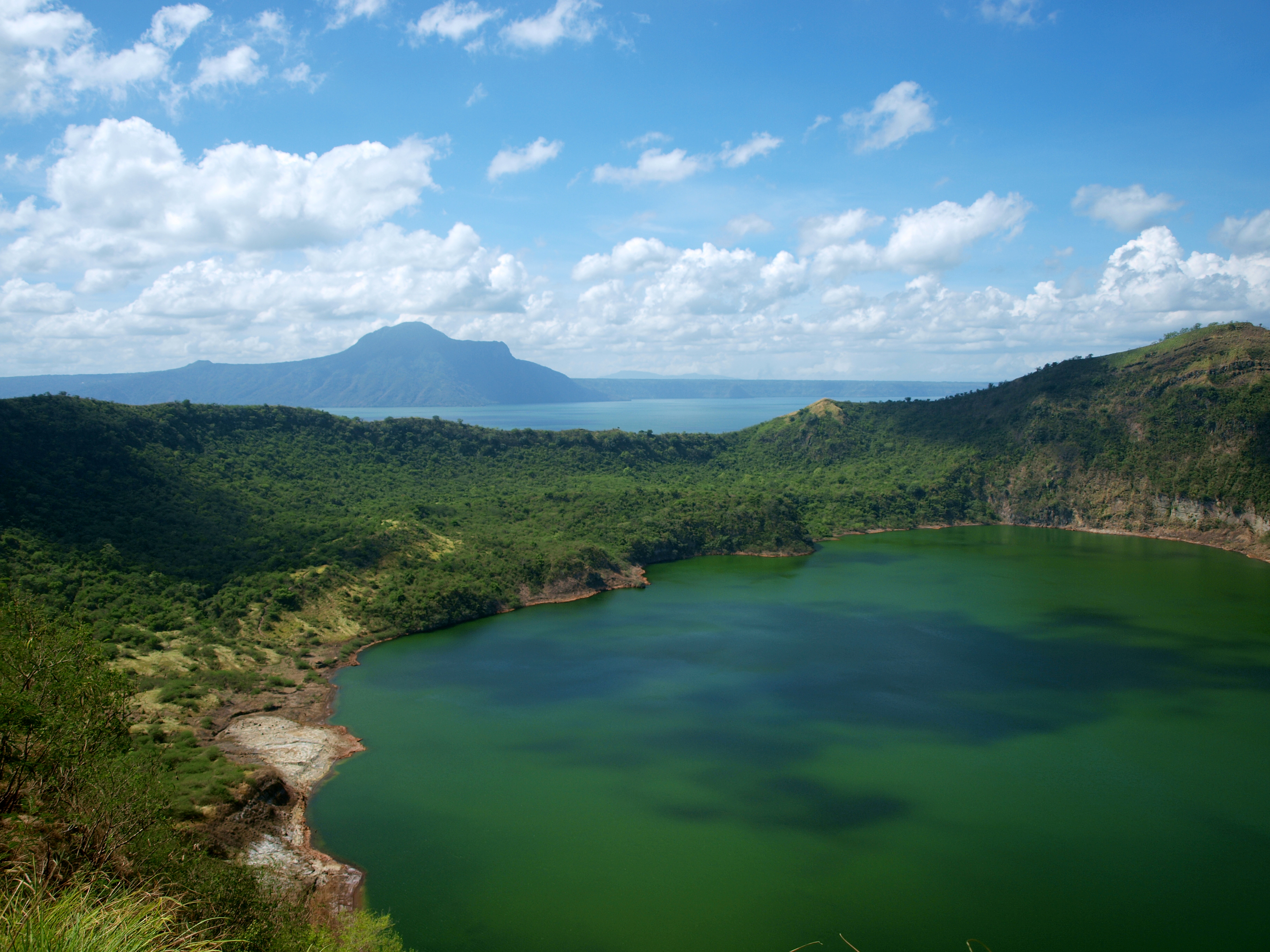
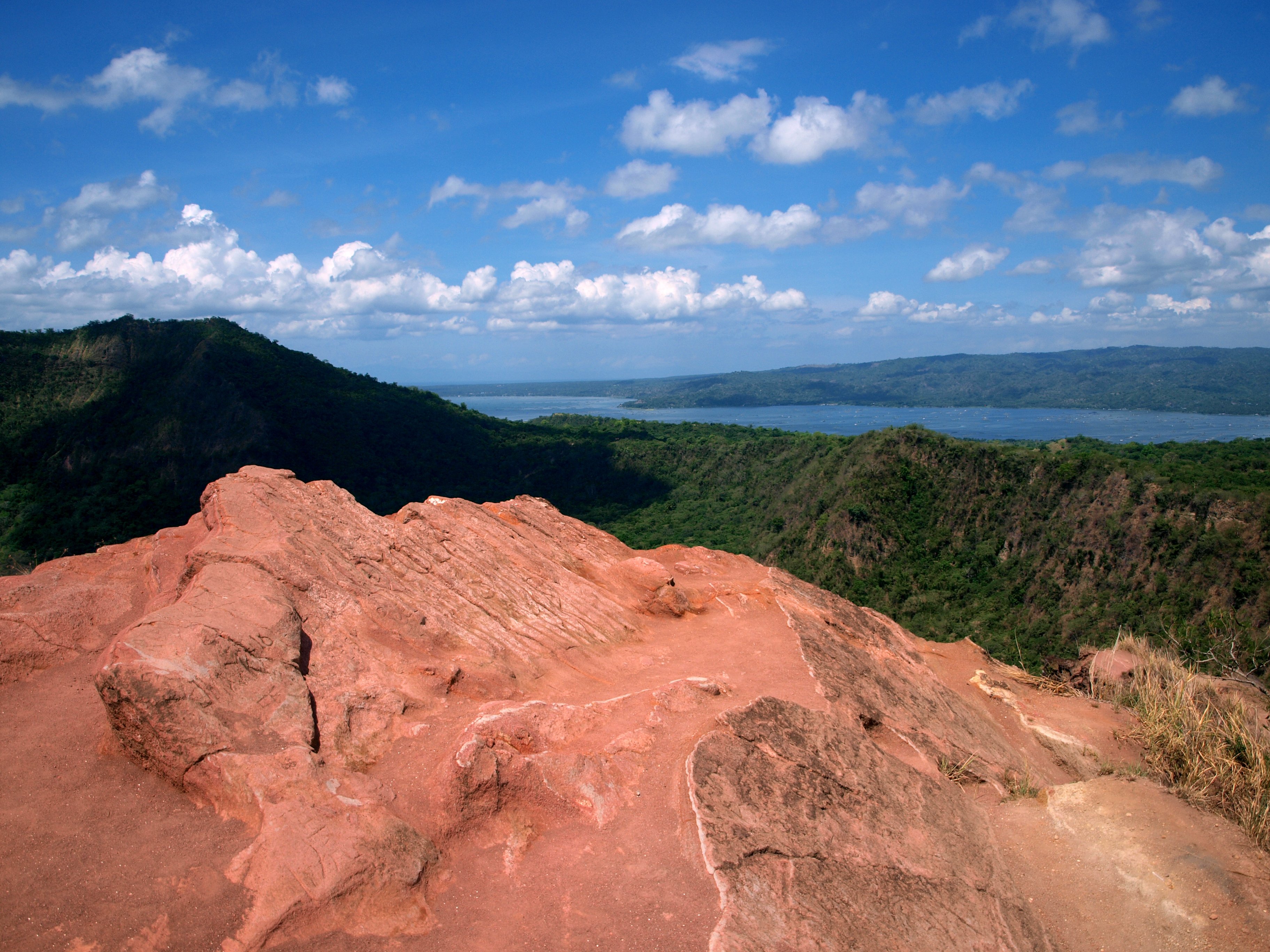
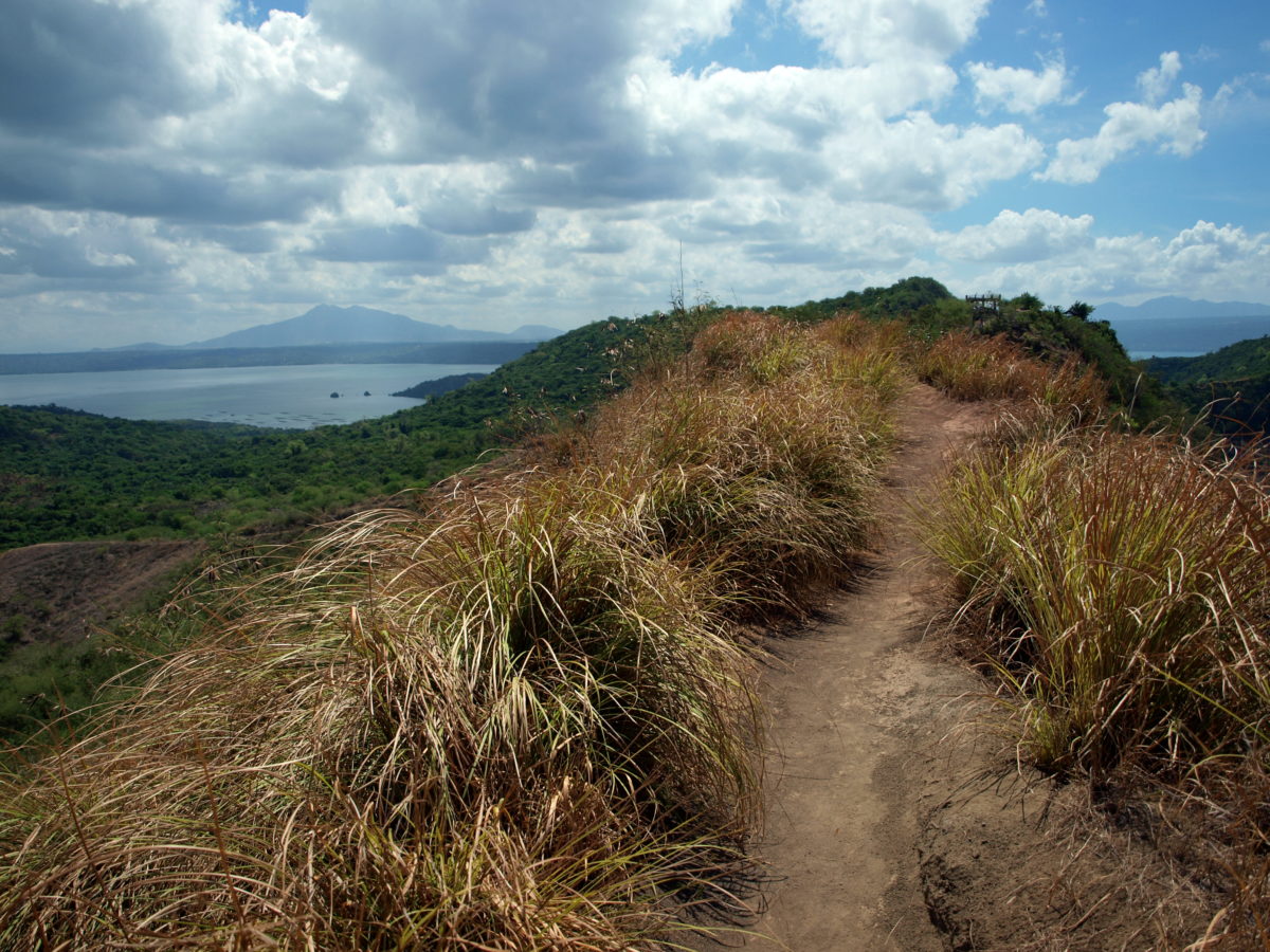
The hike uphill is over. Let’s see the views:
-
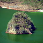
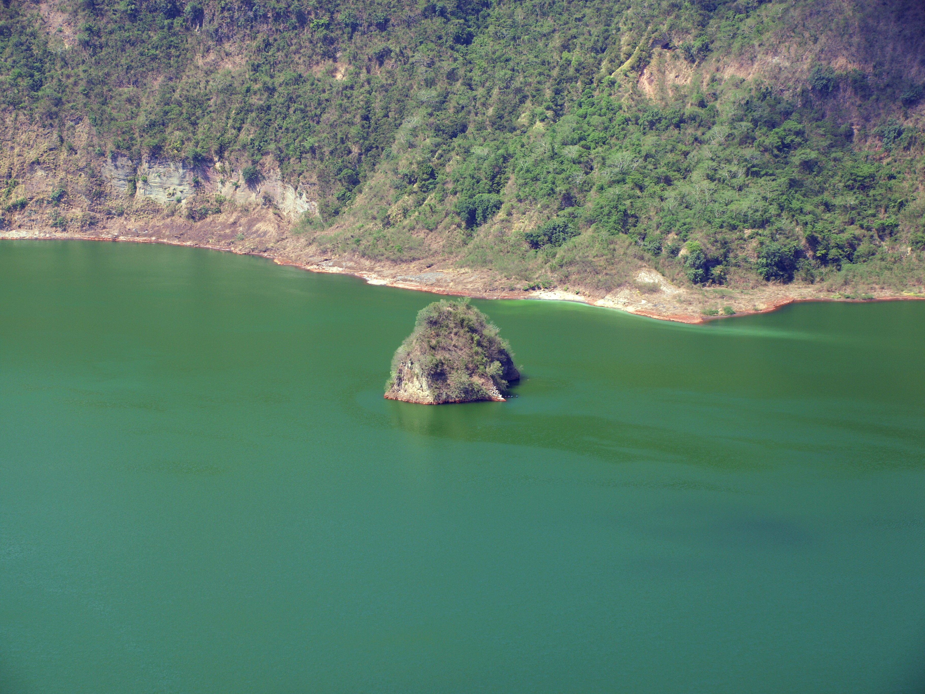
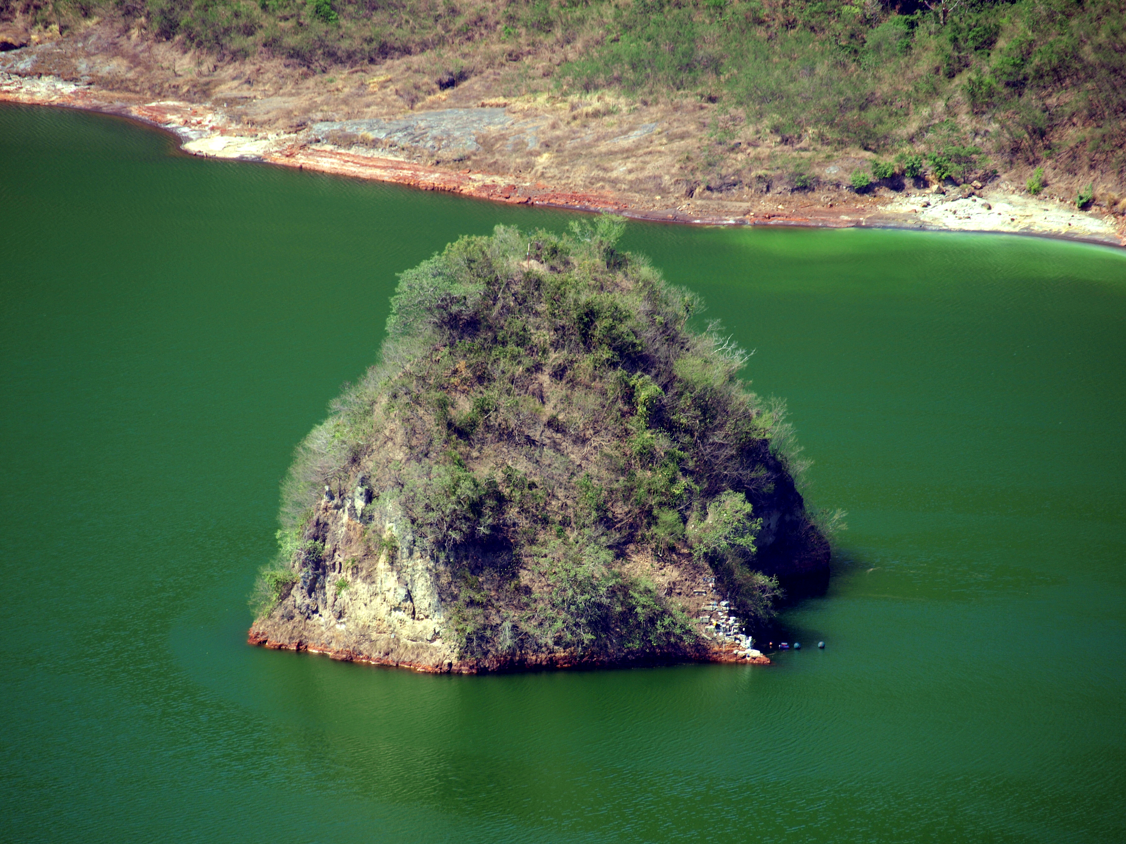
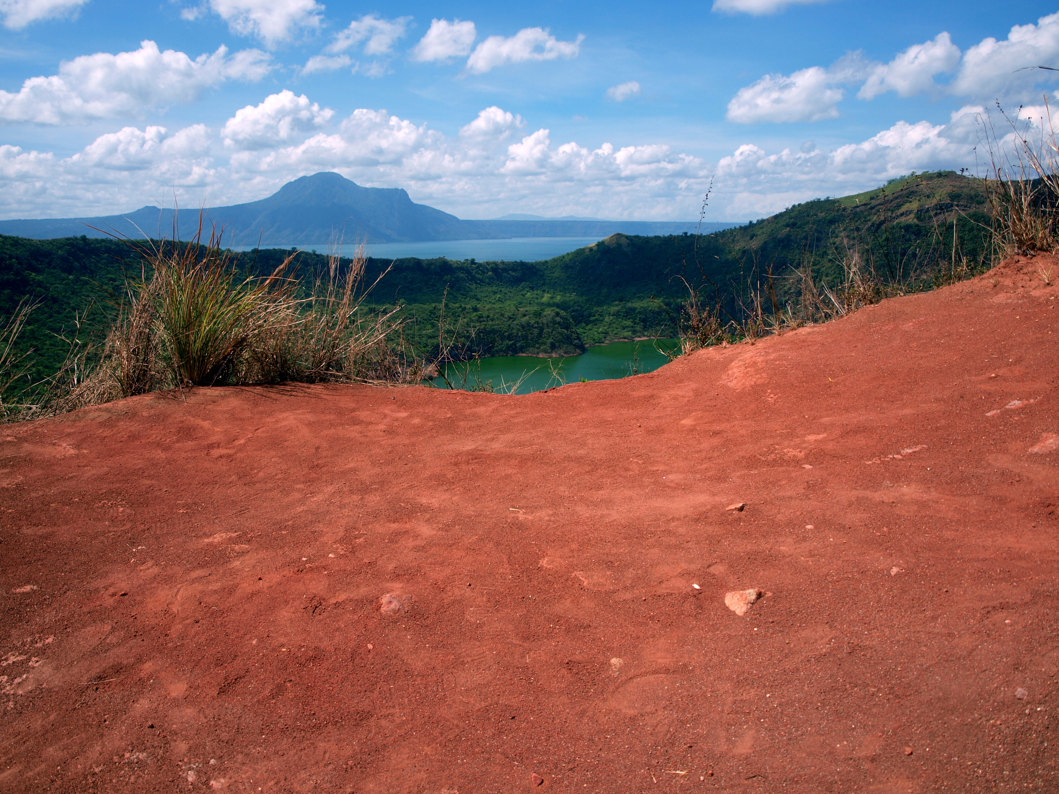
- Vulcan Point Island
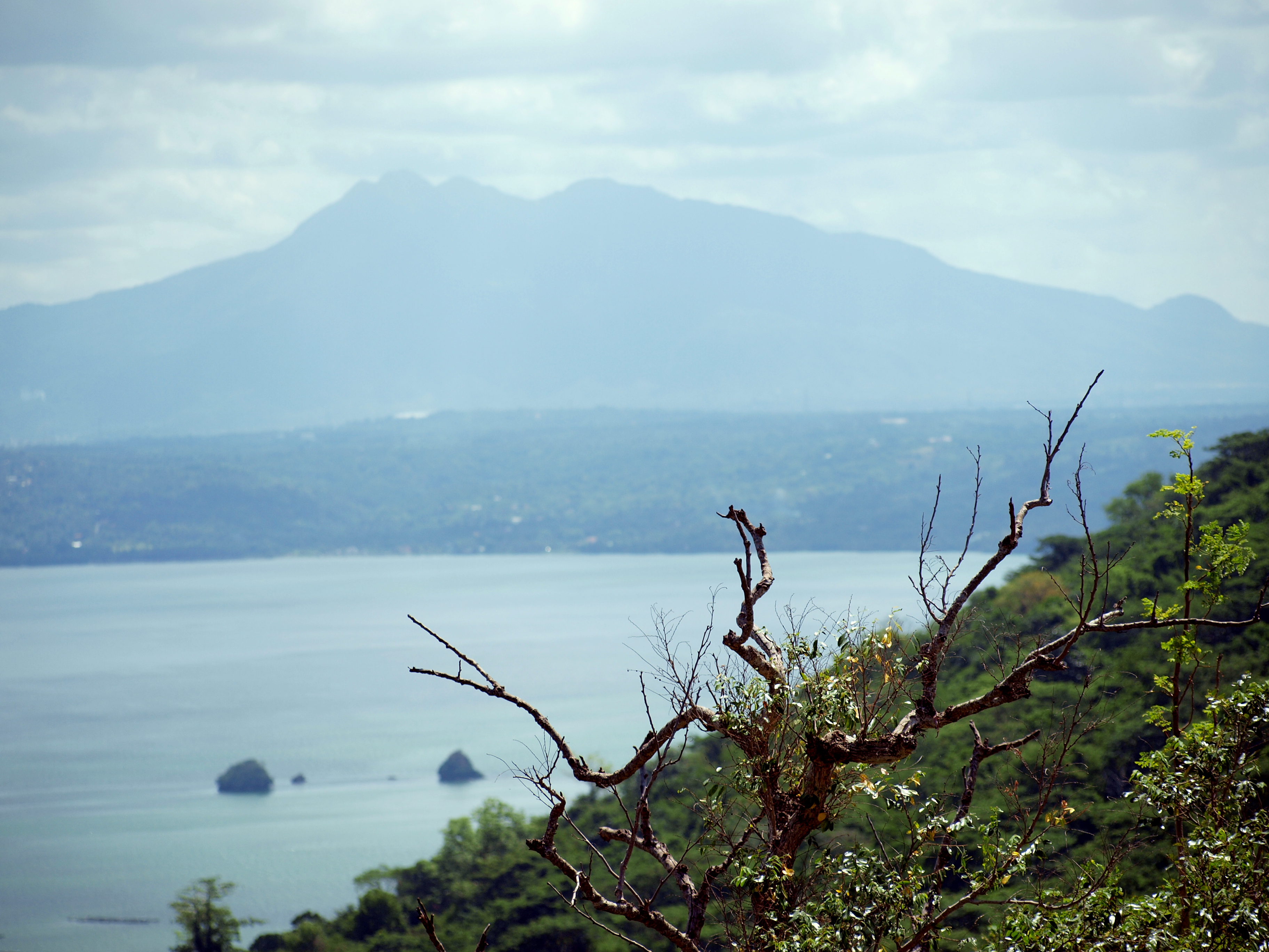
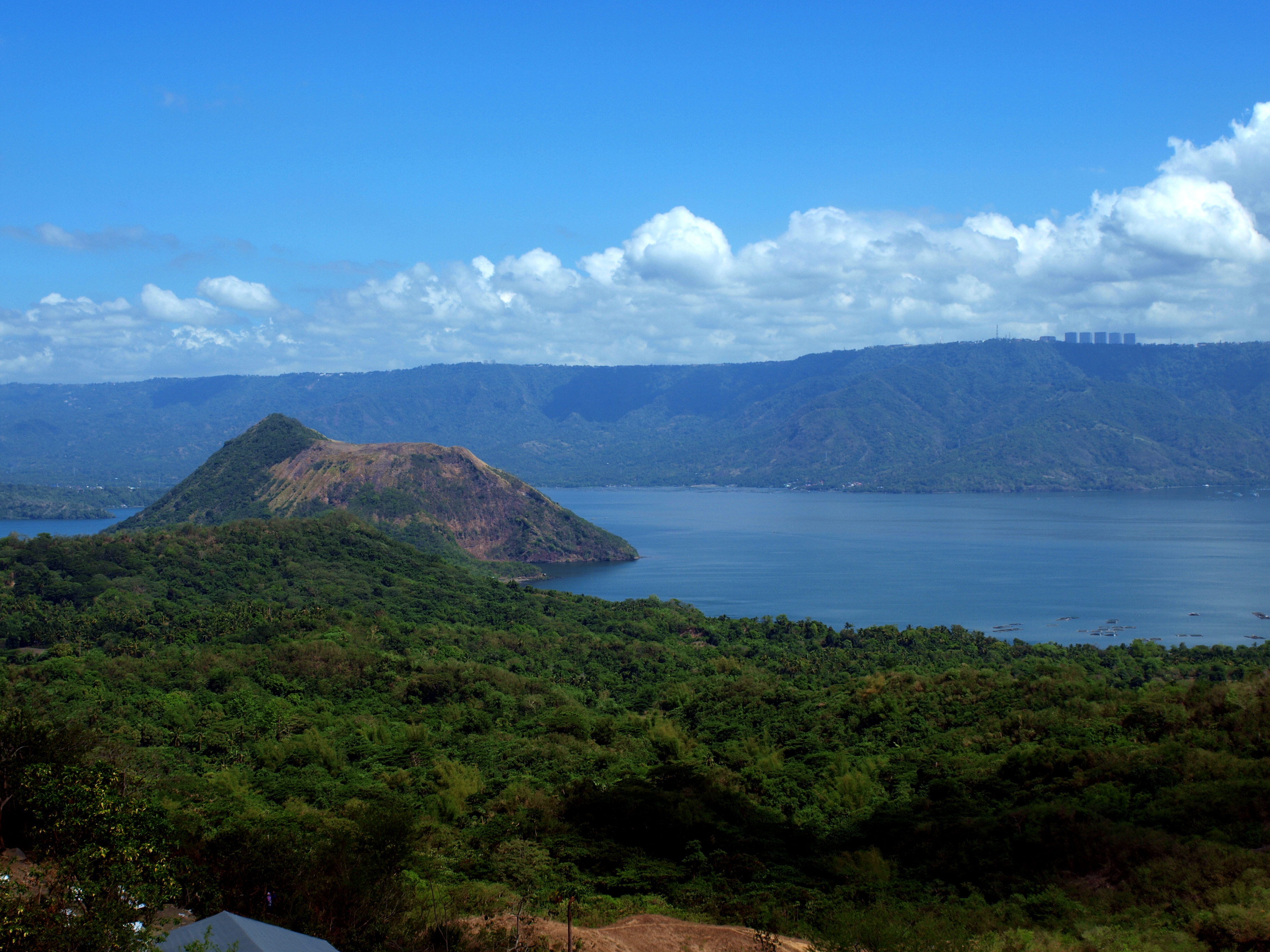
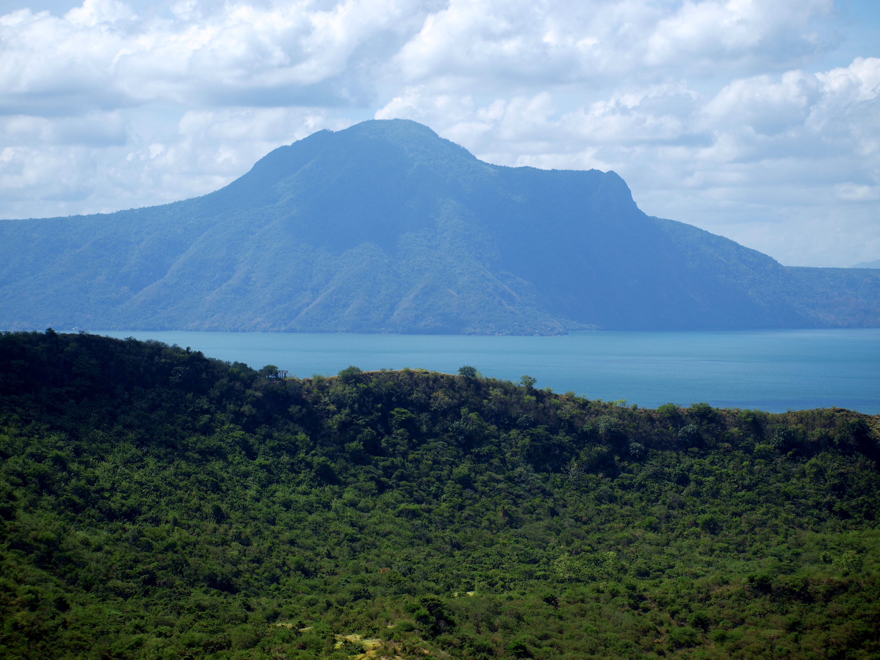
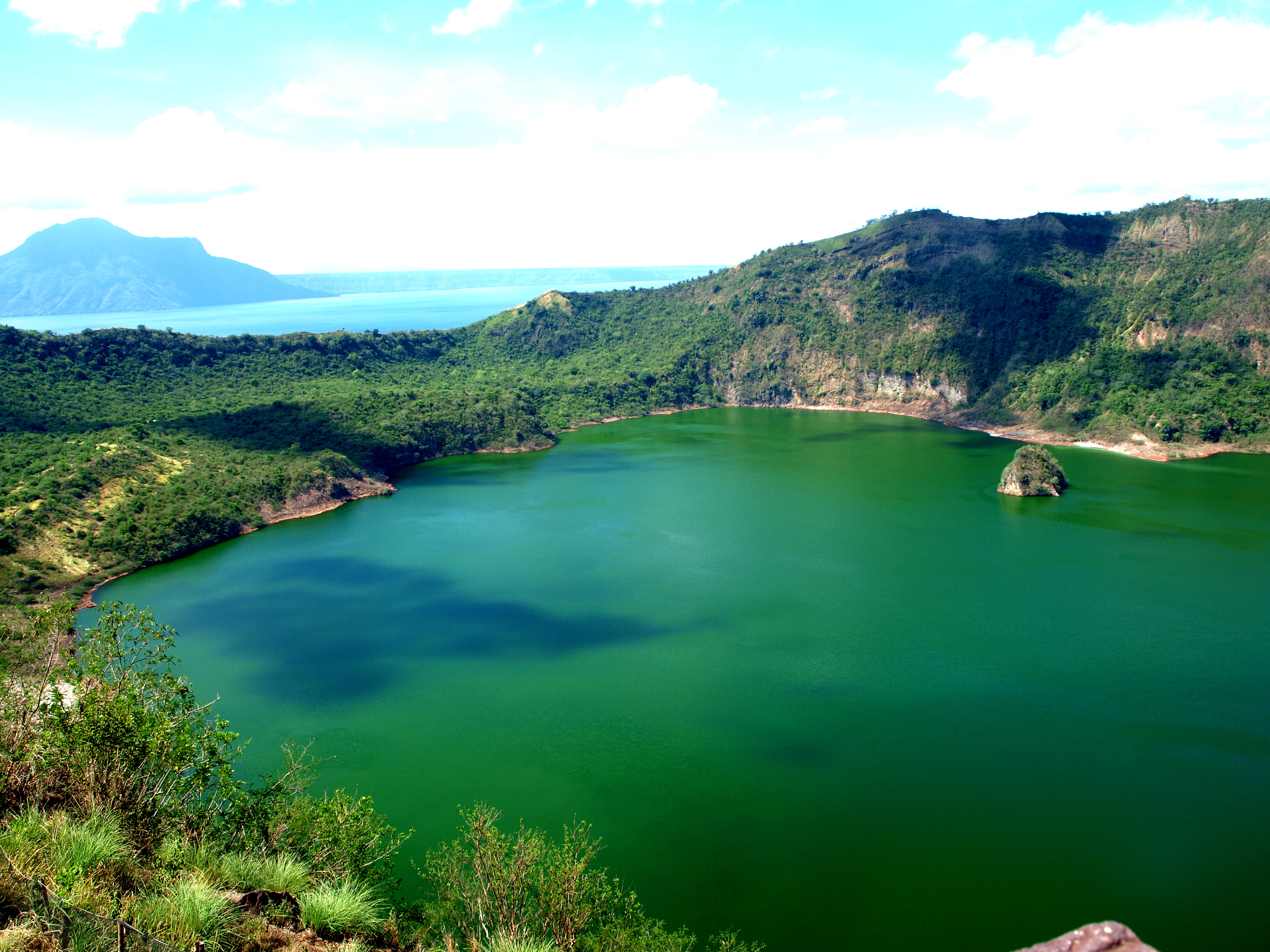
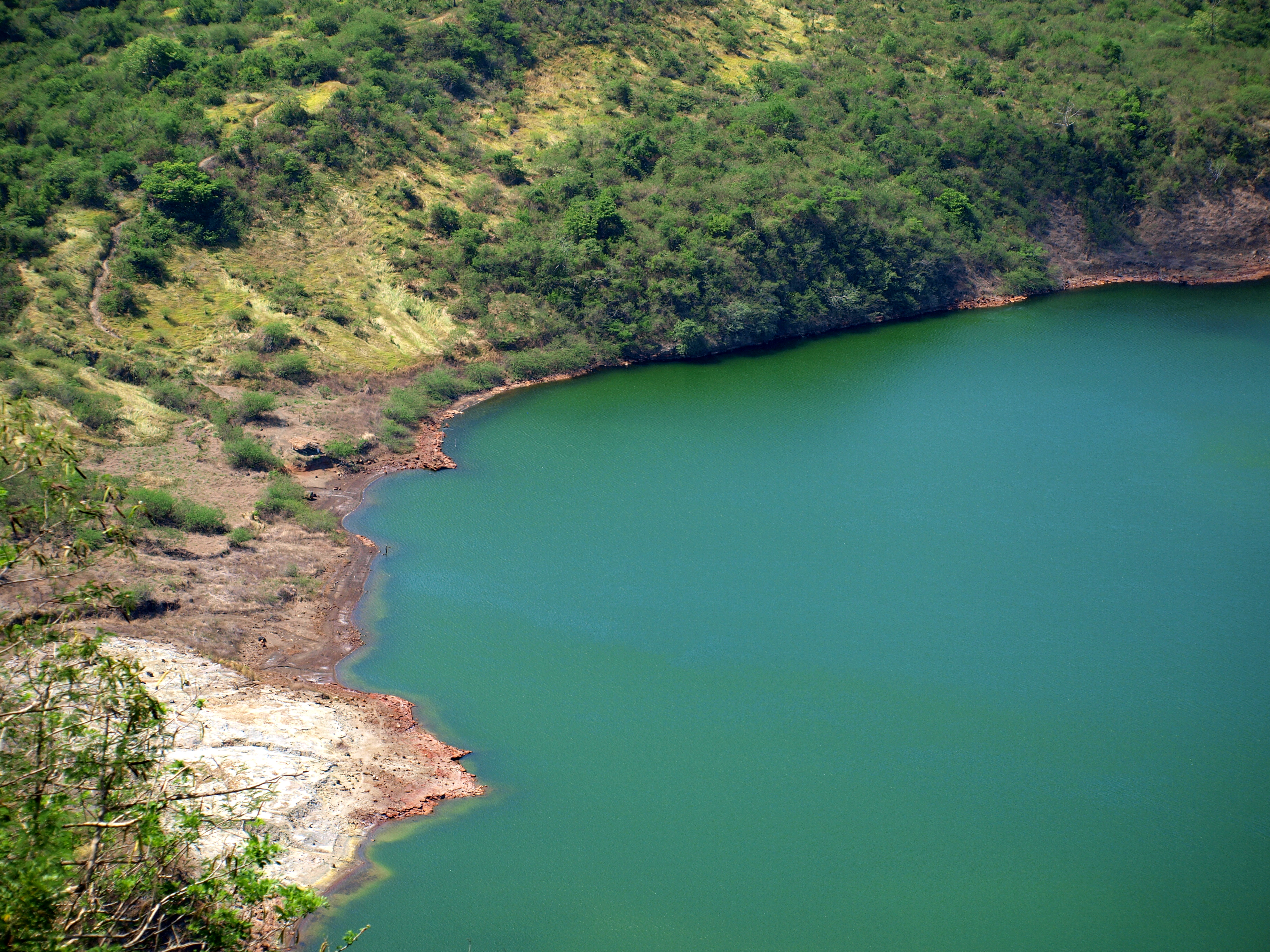
If you want to photograph the lake with one shot you either need a wide lens or alternatively take a few shots and stitch them together using photo editing software.
There is one more thing that you can see at the top: the red lava. It will set you back additional 50 pesos per person.
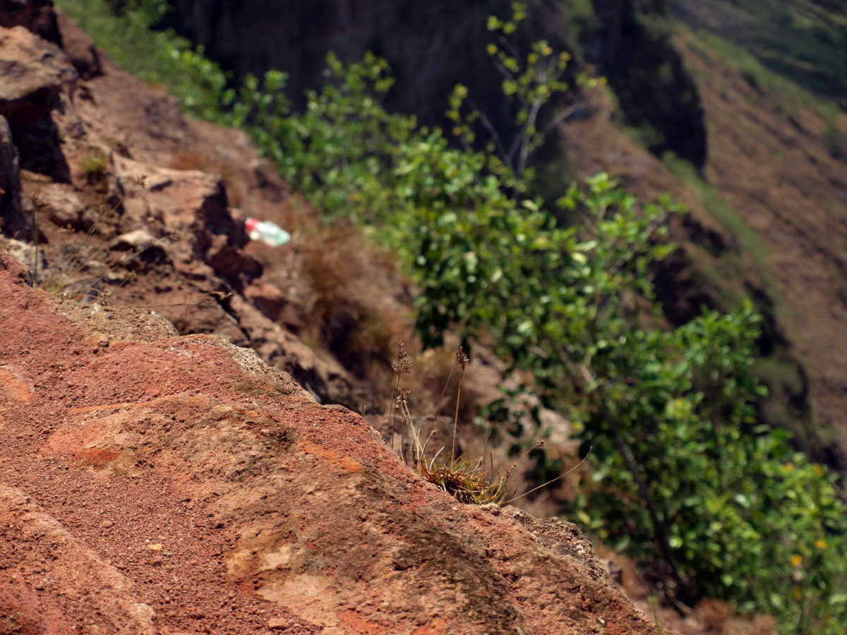
The smoke visible on one of the photos is just a reminder that Taal is an active volcano. This may make you think on you way back: why do people build their homes on a slope of an active volcano? I didn’t ask them, so unfortunately I am unable to give you an answer on that.
Now is the time to go downhill – it’s much easier but still hot. Once we get across the lake we will head back to Tagaytay. You may be puzzled when reading the next post….
Recent Comments